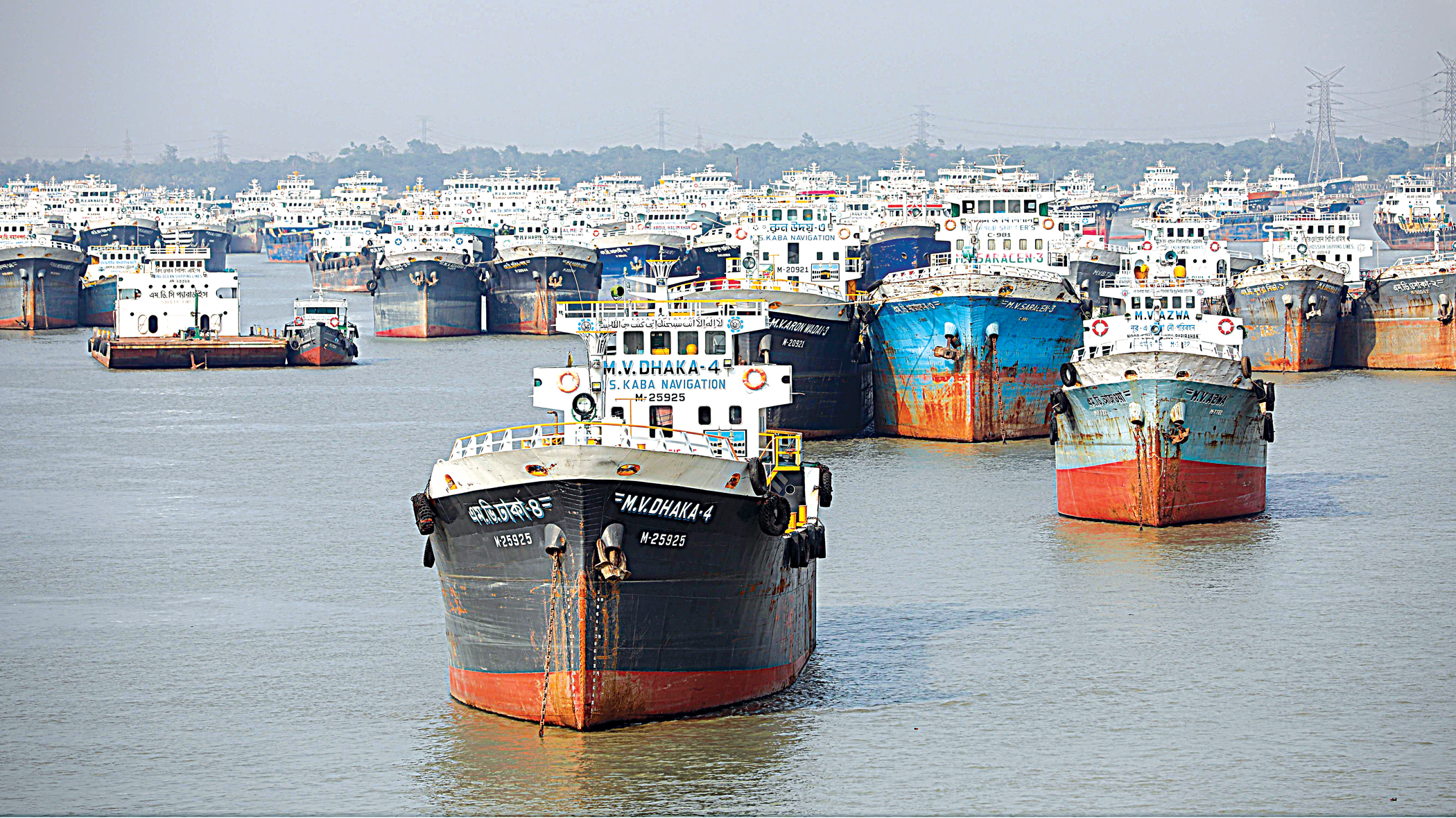
Cyclone Mocha

'Very severe' Mocha likely to intensify further: BMD
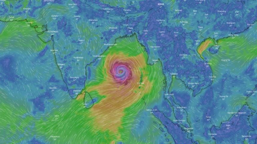
Screenshot from windy.com

Tropical cyclone Mocha, which has intensified into a very severe cyclonic storm over the central and southeast Bay of Bengal, is likely to intensify further, according to the Bangladesh Meteorological Department.

It will move in a north-northeastern direction, BMD also predicted.

The storm was centred 1,095 kilometres south-southwest of the Chattogram port and 1,025km south-southwest of Cox's Bazar port at 6:00am, said the special weather bulletin of BMD.

At that time, it was 1,055km south-southwest of Mongla port and 1,022km south-southwest of Payra port, it added.

Maximum sustained wind speed within 74km of the cyclone centre was recorded at 120-140kmph in the morning. The sea will remain very high near the storm centre, the bulletin added.

Meanwhile, the IMD in its latest update on the path and movement of Mocha said "the storm is 1,010km south-southwest of Cox's Bazar".

It is likely to cross southeast Bangladesh and north Myanmar between Cox's Bazar and Kyaukpyu around noon of May 14 as a very severe cyclonic storm with a maximum sustained wind speed of 150-160kmph, gusting up to 175kmph, according to IMD.

The IMD enhanced the tidal surge alert slightly further due to the landfall of Mocha by saying that the height of the waves triggered by the very severe cyclonic storm may rise between 2 metres to 2.7 metres, up from the 2m-2.5m in yesterday's update.

This would inundate low-lying areas of south east Bangladesh, it added.

Comments

'Very severe' Mocha likely to intensify further: BMD

Screenshot from windy.com

Tropical cyclone Mocha, which has intensified into a very severe cyclonic storm over the central and southeast Bay of Bengal, is likely to intensify further, according to the Bangladesh Meteorological Department.

It will move in a north-northeastern direction, BMD also predicted.

The storm was centred 1,095 kilometres south-southwest of the Chattogram port and 1,025km south-southwest of Cox's Bazar port at 6:00am, said the special weather bulletin of BMD.

At that time, it was 1,055km south-southwest of Mongla port and 1,022km south-southwest of Payra port, it added.

Maximum sustained wind speed within 74km of the cyclone centre was recorded at 120-140kmph in the morning. The sea will remain very high near the storm centre, the bulletin added.

Meanwhile, the IMD in its latest update on the path and movement of Mocha said "the storm is 1,010km south-southwest of Cox's Bazar".

It is likely to cross southeast Bangladesh and north Myanmar between Cox's Bazar and Kyaukpyu around noon of May 14 as a very severe cyclonic storm with a maximum sustained wind speed of 150-160kmph, gusting up to 175kmph, according to IMD.

The IMD enhanced the tidal surge alert slightly further due to the landfall of Mocha by saying that the height of the waves triggered by the very severe cyclonic storm may rise between 2 metres to 2.7 metres, up from the 2m-2.5m in yesterday's update.

This would inundate low-lying areas of south east Bangladesh, it added.

Comments

ভারতে বাংলাদেশি কার্ডের ব্যবহার কমেছে ৪০ শতাংশ, বেড়েছে থাইল্যান্ড-সিঙ্গাপুরে

বিদেশে বাংলাদেশি ক্রেডিট কার্ডের মাধ্যমে সবচেয়ে বেশি খরচ হতো ভারতে। গত জুলাইয়ে ভারতকে ছাড়িয়ে গেছে যুক্তরাষ্ট্র।

৪৯ মিনিট আগে